Challenge #93
Protecting the climate with satellite data.
Dry soils, polluted air, rising seas: satellites are accurately recording the consequences of climate change. Yet the data they provide is also helping to find effective solutions for climate protection.
Participating centers

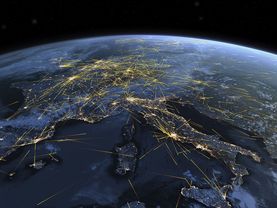
To limit climate change, we must radically reduce our carbon emissions. But what policies are effective for ensuring we do so? To find answers to this pressing question, at the German Aerospace Center (DLR), we are monitoring global emissions of greenhouse gases such as carbon dioxide and methane.
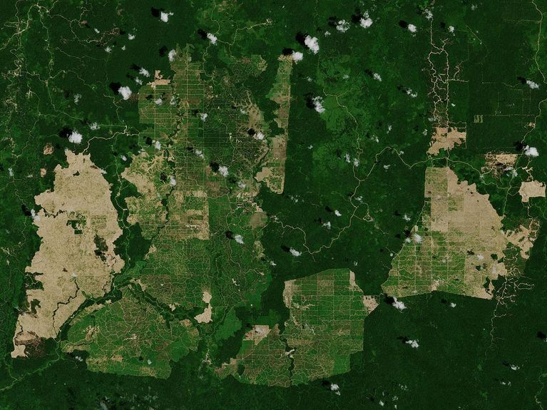
Satellites play a key role in this task. TerraSAR-X and TanDEM-X, for example, fly through space in tandem for this purpose. Together, the two radar satellites provide extremely detailed observation data of the Earth, such as air pollution over cities or cleared areas in rainforests. The duo thus allows us to draw conclusions about the dramatic climate changes on land.
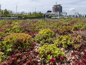
With EnMAP, we are also sending the first German hyperspectral sensor into orbit. The satellite registers the smallest details of the earth’s surface, such as the nutrient supply of field crops or the water quality of lakes. And the European satellite network Copernicus provides indicators of phenomena such as global warming, melting ice caps, and rising sea levels.
Such data is crucial in helping politicians, businesses, and society to find promising solutions in the fight against climate change.
(Photo: contains modified Copernicus Sentinel data (2019), processed by ESA, CC BY-SA 3.0 IGO)
Participating centers

Discover more