Monitoring ground subsidence with satellite data
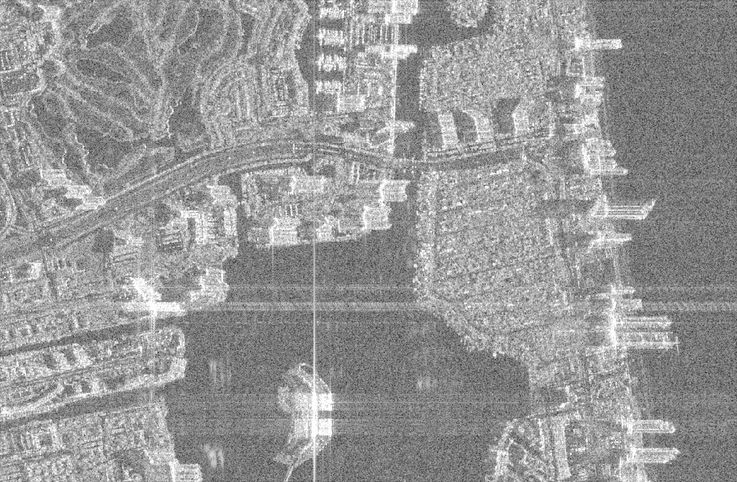
Image: Andreas Piter
The Challenge
Collapsed bridges, subsided fields, burst pipelines: movements in the Earth’s surface can destroy important infrastructure and thus also endanger human lives. In the summer of 2021, for example, a 12-story apartment building in the US city of Miami collapsed unexpectedly, killing 98 residents. Buildings can be damaged or collapse for a wide variety of reasons, including construction defects and changing climatic conditions. This process can cause the ground to dry out and crack. Less well known is another phenomenon that threatens the stability of buildings: subsidence. Subsidence is the term geologists use to describe the sinking of the ground. It can occur in localized areas anywhere in the world. In Iran, for example, the ground in some provinces is sinking by up to 35 centimeters per year, and in Mexico, the ground is sinking by up to 30 centimeters; coastal cities such as Jakarta and Shanghai are also affected. However, there are also increasingly significant human-made causes, such as excessive groundwater extraction. In cities, the enormous weight of buildings also puts pressure on the ground. As a result, holes appear in asphalt road surfaces, crevices open up unexpectedly, and houses become unstable. To date, no system is in place that enables authorities to monitor such ground subsidence systematically and straightforwardly.
Our Solution
Help with identifying dangerous depressions in the ground comes from space: Researchers at Leibniz University Hannover and the GFZ Helmholtz Centre for Geosciences are combining satellite data in a new type of software. The program they have developed is called SARvey, and they are making the software available to the public free of charge. The software uses radar interferometry, known as InSAR (Interferometric Synthetic Aperture Radar), which maps test areas from multiple perspectives. The technology also enables three-dimensional analyses. SARvey evaluates radar images to assess the stability of critical infrastructure, including buildings, dams, and transportation networks. The software provides disaster control authorities and engineers with access to freely available satellite data. SARvey relies on radar images recorded over several years by remote sensing satellites such as Sentinel-1 and TerraSAR-X. These image archives enable retrospective documentation and analysis of ground movements. At the same time, radar interferometry is so sensitive in its measurements that shifts in the centimeter and even millimeter range are detectable. SARvey was developed primarily by Andreas Piter, a doctoral student of GFZ researcher Mahdi Motagh at Leibniz University Hannover.
How are we already benefiting from it today
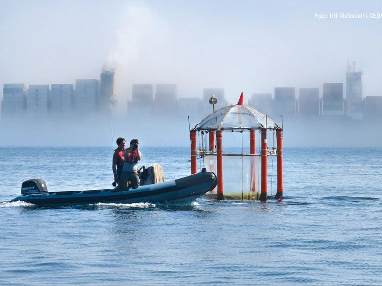
Researchers first used SARvey on the coast of Miami, where an international research team, including the GFZ, demonstrated that 35 high-rise buildings were affected by subsidence. This finding resulted from an analysis of radar signals reflected by surface features to a satellite at an altitude of approximately 700 kilometers, including balconies, air conditioning units, and sidewalks. The city is now discussing how to monitor affected buildings. For the study, the research team used the SARvey software to analyze more than 300 data sets with satellite images from 2016 to 2023. The analysis revealed that the sandy subsoil in Miami is deforming under the weight of the high-rise buildings, contrary to previous assumptions, even years after construction, explains Mahdi Motagh, working group leader in the GFZ Remote Sensing and Geoinformatics section and co-author of the study. He now wants to deploy the open-source software to inspect structures in Germany, including bridges, roads, and railroad tracks.