Restless Earth – Towards Forecasting Geohazards
![[Translate to Englisch:]](/assets/helmholtz_gemeinschaft/_processed_/8/6/csm_T3_EuU_685x240px_3d0360a1ac.jpg "[Translate to Englisch:]")
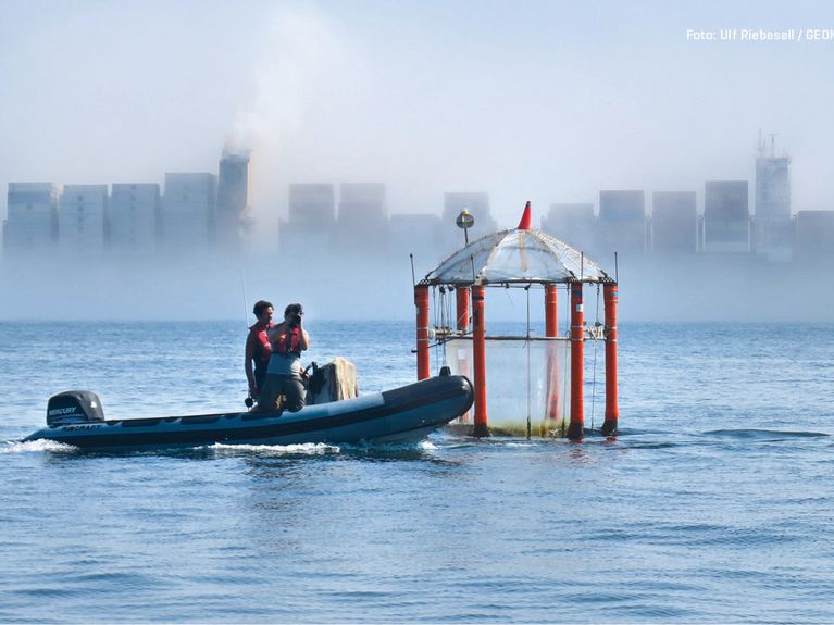
Image: GFZ/Thomas Walter
Geohazards (e.g., earthquakes, volcanic eruptions, tsunamis, rapid erosion and landslides) are becoming increasingly deadly, costly and disruptive due to increasing industrialization and urbanization and growing dependence on interconnected infrastructure. Moreover, more frequent and extreme climate-related events are creating new challenges, while “space weather” poses a significant risk to satellites. Human activities, such as fluid withdrawal/injection from reservoirs or potentially damaging land use practices (e.g., the excessive clearing of vegetation) may also cause or exacerbate seismic and landslide hazards.
Our goal is therefore to find out where and how often these events take place and also to understand the processes in the solid Earth system that can trigger such disasters.
A better understanding of temporal variations will be central to this Topic: Extreme geohazard events show cycles which may cover hundreds of thousands of years and act over various time-scales, from seconds to minutes (landslides, earthquakes), days to weeks (volcanic eruptions), to years and centuries (land subsidence or uplift).
With our increasing ability to analyze past extreme events and to monitor, model, and forecast in real-time their build-up, we will investigate and describe the complex cascades of extreme events. We aspire to develop new methods that will make it possible to assess, simulate, and predict these geohazards and other dangers, such as the consequences of space weather, more effectively.
Our new knowledge will contribute and be transferred to practical mitigation actions, such as hazard maps/building codes used for urban planning or critical facility/subsurface storage site selection, and reliable early warning (and rapid response) systems. This work involves the use of research infrastructures, including regional Earth system observatories in Chile and Turkey, global networks for earthquake monitoring such as the GEOFON program, satellite missions, and state-of-the-art analytical and experimental laboratories.
Our research into predicting geohazards focuses primarily on urban regions and coastal zones that have been particularly affected by phenomena such as tsunamis in the past. But analysis alone is not the final step: The newly generated findings must also be fed into political decision-making processes so that the worst consequences of natural disasters can be kept at bay.
“The aim of our research is to help to explain not only why and where natural disasters take place but also how their effects on humankind can be reduced.”
Topicsprecherin:
Monika Korte, GFZ Helmholtz Centre for Geosciences, Email: monika.korte@gfz.de
Topic-Support:
Christof Kusebauch (GFZ), Email: christof.kusebauch@gfz.de